Park closure: Bridge to Maryland Heights & C&O Canal CLOSEDDue to safety concerns, the Goodloe Byron Memorial Footbridge to the C&O Canal NHP towpath is expected to remain closed this fall for safety repairs on the pedestrian bridge. This work is in addition to the staircase replacement. A shuttle with very limited space currently runs bNPS Harpers Ferry alerts · updated
Potomac footbridge: Closed (since July 27, 2026)The Goodloe Byron Memorial Footbridge to Maryland Heights, the C&O towpath and the A.T. north is closed for stair and deck repairs, with no reopening date. A limited NPS shuttle runs from the Visitor Center to C&O Lock 34 (first bus 9:00am, last return 5:30pm).NPS C&O Canal (updated Nov 3, 2026) · updated
Park alert: Ongoing work on Lower Town buildingsFacilities staff are doing repair work on several buildings in Lower Town. Please follow signs for alternate entrances and heed temporary closures.NPS Harpers Ferry alerts · updated
Lower Town museums: Some temporarily closedMaster Armorer's Quarters, Black Voices, the Civil War Museum and Harper House are temporarily closed. John Brown's Fort and the John Brown Museum are open.NPS Alerts & Conditions · updated
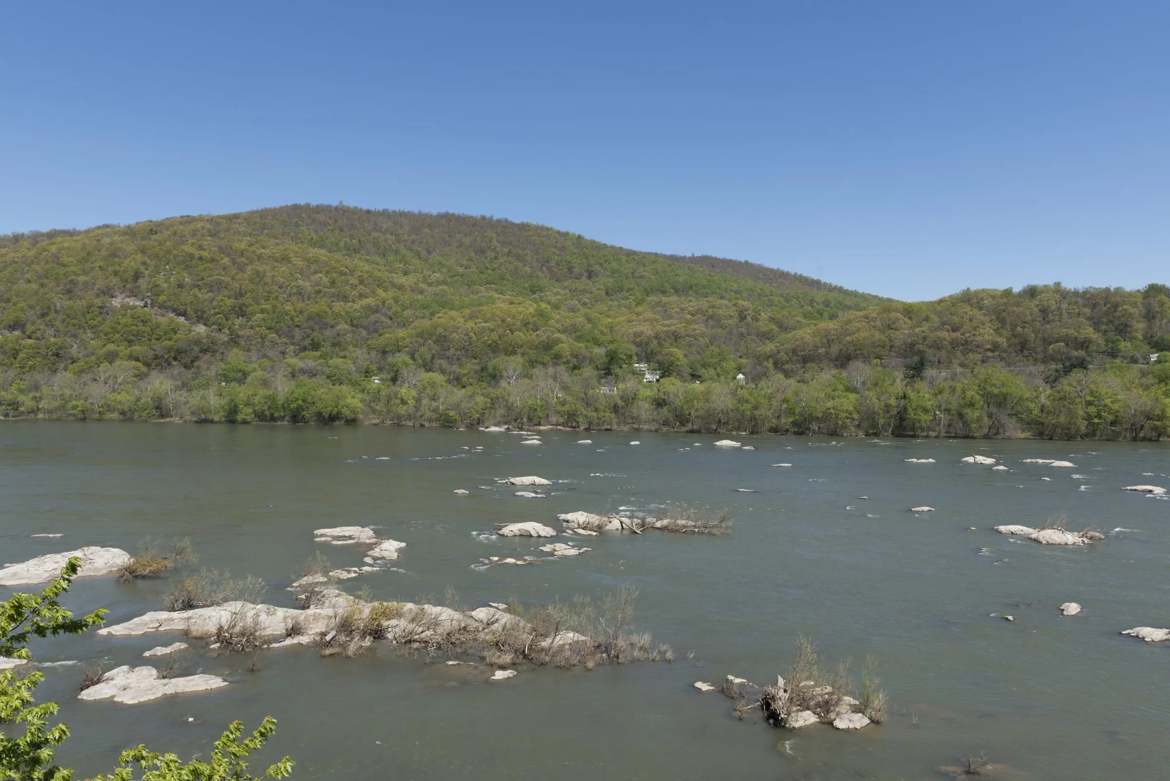
Potomac River: 1,560 cfs · 1.20 ft (below normal)Flow is below normal for today (median for this date: 2,930 cfs). Levels change fast after rain. Currents at the confluence are strong and drownings have occurred — wear a life jacket and check with an outfitter before tubing or paddling.USGS Point of Rocks, MD · updated
Shenandoah River: 515 cfs · 1.39 ft (below normal)Flow is below normal for today (median for this date: 1,020 cfs). Levels change fast after rain. Currents at the confluence are strong and drownings have occurred — wear a life jacket and check with an outfitter before tubing or paddling.USGS Millville, WV · updated
Weather: Today: Sunny, 69°FSunny, with a high near 69. Southwest wind 6 to 16 mph, with gusts as high as 23 mph. Tonight: Mostly Clear, 39°F.National Weather Service · updated
Fall color: Late seasonWV Tourism projected the Eastern Panhandle to change in late October and early November 2026; its Oct 27 report said color was popping statewide. Expect fading color and bare ridges by mid-November.WV Tourism fall foliage map · updated
What do the river numbers mean?
Flow is measured in cubic feet per second (cfs), and gauge height in feet. We compare today's flow with the USGS long-term median for the same calendar date, so you can tell at a glance whether the river is low, typical or high for the season.
River gauges we use
Potomac
USGS 01638500, Point of Rocks, MD (record since 1895)
Shenandoah
USGS 01636500, Millville, WV
Flood stages (Potomac at Harpers Ferry, NWS HFEW2)
Minor 18 ft · Moderate 21.5 ft · Major 24 ft
Record crest
36.5 ft, March 1936
River safety
Currents at the confluence are strong, ledges and debris are hidden, and drownings have occurred near The Point and on the Shenandoah. Wear a life jacket, stay off the river at high flows, and let an outfitter decide whether trips are running. Maryland's Natural Resources Police periodically advise against recreational boating on the Upper Potomac during high water.
The park is open daily except Thanksgiving, December 25 and January 1. Trails and parking lots open 30 minutes before sunrise and close 30 minutes after sunset. The Visitor Center and Lower Town museums are open 9am–5pm. The park shuttle runs every 10–15 minutes from 9am, with the last bus at 7pm during daylight saving time and 5:30pm in standard time.
As of November 2026:
Potomac footbridge: closed since July 27, 2026 (first for new stairs, then for deck repairs). The limited shuttle to C&O Lock 34 leaves the Visitor Center from 9:00am, and the last return from Lock 34 is at 5:30pm.
Temporarily closed museums: Master Armorer's Quarters, Black Voices, the Civil War Museum and Harper House.
Schoolhouse Ridge South: southern loop closed because of sinkholes.
An automated job checks USGS, NOAA, the National Weather Service and the National Park Service about every two hours and publishes what it finds. Readings that go stale are hidden rather than shown as current. Notes on closures and the seasons (such as fall color) are written and dated by the editor from official sources. How we fact-check
Frequently asked questions
Is the Harpers Ferry footbridge open?
No. As of November 2026 the Goodloe Byron Memorial Footbridge across the Potomac has been closed since July 27, 2026, for stair and deck repairs, with no reopening date announced. A limited NPS shuttle runs from the Visitor Center to C&O Canal Lock 34.
How do I check the river level at Harpers Ferry?
Use USGS gauge 01638500 (Potomac River at Point of Rocks, MD) and 01636500 (Shenandoah River at Millville, WV), or the NWS gauge HFEW2 (Potomac at Harpers Ferry), whose minor flood stage is 18 feet. The panel on this page shows the latest readings.
Is the river safe for tubing today?
Only an outfitter can tell you whether trips are running. Outfitters stop tubing at high water; River Riders lists 6 to 10 feet as no tubing and above 10 feet as no river operations. Currents at the confluence are strong, so always wear a life jacket.
Is Harpers Ferry National Historical Park open today?
The park is open every day except Thanksgiving, December 25 and January 1. Trails and lots are open from 30 minutes before sunrise to 30 minutes after sunset, and the Visitor Center and Lower Town museums are open 9am to 5pm. Some museums are temporarily closed as of November 2026.
Where does this data come from?
River data comes from the U.S. Geological Survey and NOAA, weather and alerts from the National Weather Service, and park alerts from the National Park Service. Notes on closures and the seasons are written by Harpers Ferry Guide from official sources and dated.
Sources & fact-checking
Facts on this page were last verified against the sources below on . Details like hours, fees and closures change — if you spot something out of date, tell me.
Daniel Hemmerich is the founder and editor of Harpers Ferry Guide, an independent guide to visiting and understanding Harpers Ferry, West Virginia. He researches every page against official sources such as the National Park Service and the Appalachian Trail Conservancy, keeps the site’s live conditions…