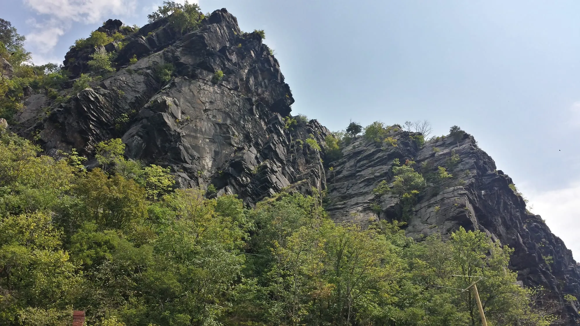
Harpers Ferry, West Virginia, sits where the Potomac and Shenandoah cut through the Blue Ridge, so most trails here either climb a ridge above the rivers or follow them. The National Park Service counts 9 trails and about 23 miles of hiking in the park, with the Appalachian Trail running through Lower Town. Here is every trail with the NPS's own figures, plus the A.T., the rules and the footbridge closure.
Know before you go
| Footbridge to Maryland | Closed since Jul 27, 2026; no reopening date as of November 2026 — C&O Canal NHP |
| Closure shuttle | Visitor Center to C&O Lock 34; first bus 9:00am, last return 5:30pm from Lock 34; no pets — ATC update |
| Trail hours | 30 min before sunrise to 30 min after sunset (park hours page) — NPS |
| Dogs | Allowed on trails, 6-ft leash max; not on shuttles — NPS |
| Bikes | Not allowed on any park trail — NPS |
| Water | None on the trails; fountains at the Visitor Center and Lower Town (outdoor ones off in winter) |
| Camping | Not allowed in the park |
| Where to park | Visitor Center, 171 Shoreline Dr — parking guide |
What is the best hike in Harpers Ferry?
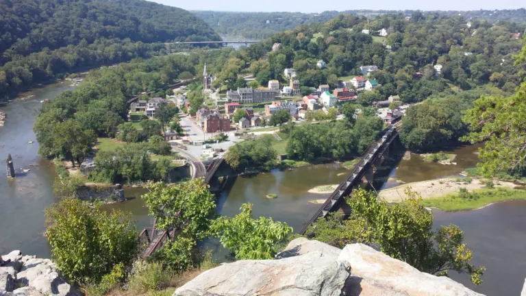
Maryland Heights is the best-known hike in Harpers Ferry and the one most people mean when they ask. It climbs the Maryland side of the Potomac to cliffs that look straight down on Lower Town, the railroad bridges and the meeting of the two rivers. The NPS lists it at 4.5 to 6.5 miles round trip with 990 to 1,788 feet of climbing, moderately strenuous to strenuous, 3 to 4 hours. Full route options, safety notes and the current shuttle workaround are in our Maryland Heights Trail guide.
For a longer ridge day, try Loudoun Heights on the Virginia side. For something short, Bolivar Heights or Virginius Island takes about an hour.
My half-day pick
With half a day, I'd skip the big climbs and walk up the stone steps from High Street past St. Peter's to Jefferson Rock, then come back down through Lower Town to The Point. I walked that route on my first visit, and it packs the most history and views into the least time.
How do the Harpers Ferry trails compare?
Here is every park trail with the figures the NPS publishes. Where the NPS gives a range, it reflects side trails and route choices.
| Trail | Distance | Climb | Difficulty | Time | Highlights |
|---|---|---|---|---|---|
| Maryland Heights | 4.5–6.5 mi round trip | 990–1,788 ft | Moderately strenuous–strenuous | 3–4 hr | Overlook cliffs above town; Civil War Stone Fort and batteries |
| Loudoun Heights | Up to 7.5 mi | 1,377 ft | Moderately strenuous | 4–5.5 hr | Views of Maryland Heights, the town, the rail lines and the confluence |
| Bolivar Heights | 0.3–2.4 mi | 4–263 ft | Easy–moderate | 10 min–1.6 hr | 1862 battlefield overlook with a replica cannon |
| Virginius & Hall's Islands | Up to 2 mi | 45 ft | Easy | 15 min–1 hr | Riverside mill ruins and wayside exhibits |
| Visitor Center to Lower Town | 1.6 mi one way | 150 ft downhill | Easy, one steep section | 30 min–1 hr | Stone steps between boulders; skip the shuttle on foot |
| Camp Hill & Appalachian Trail | Up to 1.8 mi | Up to 216 ft | Moderate | 45 min–1.1 hr | Tree-lined A.T. segment past the former Storer College campus |
| Murphy-Chambers Farm | 1–3 mi | 187 ft | Easy–moderate | 1–2 hr | Shenandoah River overlook and wayside exhibits |
| Schoolhouse Ridge North | 1.7 mi | 110 ft | Easy–moderate | 0.6–1 hr | A row of antique cannons |
| Schoolhouse Ridge South | Up to 3.7 mi | Up to 265 ft | Moderate | 1.4–2.1 hr | Allstadt stone building ruins; southern loop closed (sinkholes) as of November 2026 |
Source: NPS Hiking Trails and Current Conditions. The NPS hikes page also has trail maps for each route.
Which Harpers Ferry hikes are easy or good for kids?
The easiest trails are Virginius and Hall's Islands (up to 2 miles, 45 feet of climbing) and Bolivar Heights (from 0.3 miles). Murphy-Chambers Farm adds a Shenandoah overlook in 1 to 3 miles. The Visitor Center to Lower Town trail is gentle except for one steep stretch of stone steps.
Which hikes have the best views?
Maryland Heights has the famous view down on the town and both rivers. Loudoun Heights looks back at Maryland Heights, the town and the confluence from the Virginia side. For a short walk, Bolivar Heights overlooks the 1862 battlefield.
How does the footbridge closure affect hiking?
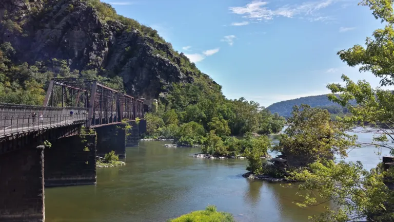
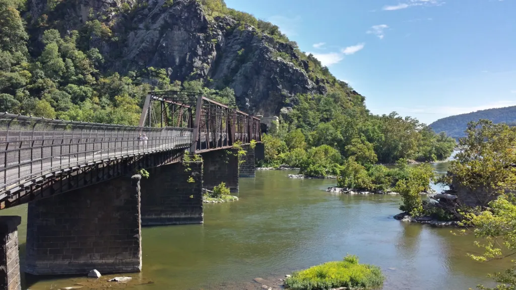
The closure cuts the walking link between Lower Town and the Maryland side: Maryland Heights, the C&O Canal towpath and the A.T. heading north. The Goodloe Byron Memorial Footbridge closed on July 27, 2026 for stair replacement, and in October the closure was extended for deck safety repairs. As of November 2026 there is no reopening date.
While it is closed:
- Maryland Heights is open, but you reach it on the limited NPS shuttle from the Visitor Center to C&O Canal Lock 34 (no pets, not in bad weather), then walk the towpath. Details are on the Maryland Heights page.
- A.T. hikers need another way across. The ATC asks long-distance hikers to arrange their own transportation and suggests day hikers stay on one side of the river.
- Everything on the West Virginia and Virginia side is unaffected: Loudoun Heights, Bolivar Heights, the islands, Camp Hill and Murphy-Chambers Farm.
Dated timeline and every detour: Harpers Ferry footbridge closure.
Where does the Appalachian Trail go through Harpers Ferry?
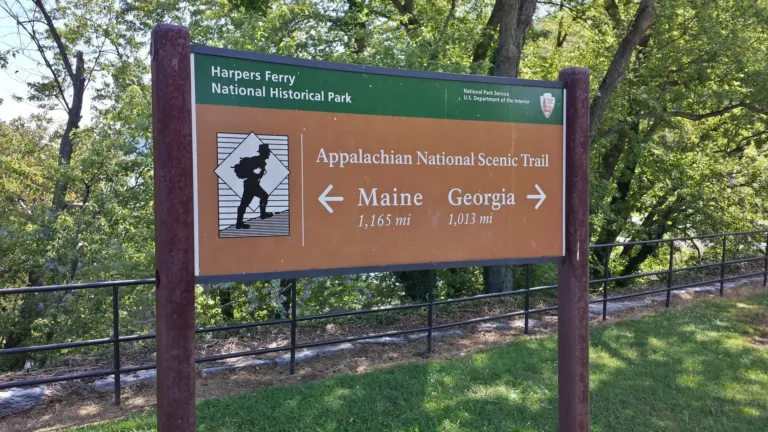
Inside the park, the A.T. links Loudoun Heights (reached across the US 340 bridge over the Shenandoah), Camp Hill, Jefferson Rock and Lower Town, then normally crosses the Potomac on the footbridge into Maryland. The ATC lists a 1.4-mile Harpers Ferry Town Loop for walkers who want to sample it.
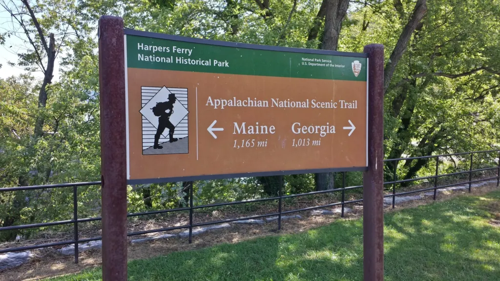
Is Harpers Ferry the halfway point? The ATC calls its Harpers Ferry headquarters the trail's "psychological halfway point." The true mileage midpoint is in Pennsylvania and shifts as the trail is rerouted.
How much of the A.T. is in West Virginia? According to the ATC's state page, just 2.4 miles of the trail lie fully in West Virginia, the shortest of any state, plus about 20 miles along the West Virginia–Virginia border. Elevations range from 265 to 1,200 feet, and there are no shelters.
What is at the ATC Harpers Ferry Visitor Center?
The Appalachian Trail Conservancy's visitor center is at 799 Washington St. As of November 2026 it is open Thursday to Monday 9am–5pm and Tuesday to Wednesday 10am–4pm (ATC). Inside are a 10-foot 3-D map of the trail, the Katahdin summit sign, a hiker lounge, a gift shop and passport stamps. A 2-hour lot behind the building is reached from Storer College Place.
Thru-hikers traditionally have their photo taken on the front porch, and the ATC has kept a catalog of these halfway photos since 1979.
Visitor center details, overnight parking and the best A.T. day sections are in our Appalachian Trail in Harpers Ferry guide.
What about Weverton Cliffs?
Weverton Cliffs is a 2-mile round trip on the Appalachian Trail in Maryland to an overlook about 500 feet above the Potomac, according to the Appalachian Trail Conservancy. You drive to its trailhead on the Maryland side, so the footbridge closure doesn't affect it. Distances, parking and dog rules are in our Weverton Cliffs guide.
What are the trail rules in Harpers Ferry?
The NPS rules for park trails, in brief:
- Hours: the park's hours page lists trails as open from 30 minutes before sunrise to 30 minutes after sunset; trail pages say daylight only, so be off by sunset. The A.T. itself is always open.
- Pets: 6-foot leash at all times; carry out waste. No pets on shuttles or in park buildings (service animals excepted).
- Bikes: not allowed on any park trail, only on roads open to cars.
- Water: none on the trails, including Maryland Heights.
- Railroad tracks: trains pass many times a day. Stay off the tracks.
- Camping: prohibited. A.T. hikers and C&O cyclists can get a permit to park overnight at the Visitor Center for up to 14 days.
- Trash: no trash cans on trails. Pack everything out.
- Hazards: ticks, poison ivy, snakes, slippery rocks and cliff edges. Stay off earthworks and historic stone walls.
Where do you park for Harpers Ferry trailheads?
Park at the Visitor Center at 171 Shoreline Drive, where the shuttles and the Visitor Center to Lower Town trail start. Bolivar Heights has a small lot on Whitman Avenue (8 spaces). The old Maryland Heights lots on Sandy Hook Road were permanently closed in 2022. Fees, lots and shuttle times are in our parking, fees and shuttle guide. If you'd rather walk to the trails from your room, see where to stay.