Every image on this site is either a photo by Daniel Hemmerich or used under a license that allows it: public domain, CC0, Creative Commons Attribution or Attribution-ShareAlike. Each is credited under the image and listed below. Images under a share-alike license (CC BY-SA) stay under that license, so if you reuse one, follow its original terms.
Photographers: if an image is credited incorrectly, please contact us and we will fix it right away.
| Image | Title | Creator | License | Source |
|---|---|---|---|---|
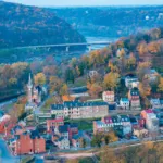 | Aerial of Harpers Ferry at Dawn | Jesse Lee Tucker | CC BY-SA 4.0 | Source |
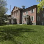 | Anthony Hall, former Storer College | Carol M. Highsmith | Public domain (Carol M. Highsmith Archive, LoC: No known restrictions on publication) | Source |
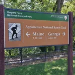 | Appalachian Trail sign in Harpers Ferry | Daniel Hemmerich | Owner — all rights reserved | — |
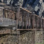 | B&O Potomac River crossing and Appalachian Trail footbridge | Acroterion | CC BY-SA 4.0 | Source |
 | B&O railroad bridge and Maryland Heights | Daniel Hemmerich | Owner — all rights reserved | — |
 | Boulders at the Maryland Heights overlook | Daniel Hemmerich | Owner — all rights reserved | — |
 | Brick buildings in Lower Town | Daniel Hemmerich | Owner — all rights reserved | — |
 | Bridge and Tunnel at Harpers Ferry | Michael Dillon | CC BY-SA 4.0 | Source |
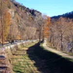 | C&O Canal and towpath near Harpers Ferry | Kevin Smith | CC BY-SA 3.0 | Source |
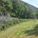 | C&O Canal bed and towpath across from Harpers Ferry | Daniel Hemmerich | Owner — all rights reserved | — |
 | Daniel Hemmerich | Daniel Hemmerich (supplied) | Owner — all rights reserved | — |
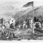 | Harper’s Ferry insurrection: the battle ground (1859) | Frank Leslie's Illustrated Newspaper (unnamed special artist) | Public domain (LoC: No known restrictions on publication) | Source |
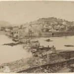 | Harper’s Ferry, photographed immediately after its evacuation by the rebels, 1861 | C. O. Bostwick (photographer) | Public domain (LoC: No known restrictions on publication) | Source |
 | Harpers Ferry & Potomac River Overlook (HDR) | Nicolas Raymond | CC BY 2.0 | Source |
 | Harpers Ferry from Maryland Heights (panorama) | Mark Fickett | CC BY 3.0 | Source |
 | Harpers Ferry from the Maryland Heights overlook | Daniel Hemmerich | Owner — all rights reserved | — |
 | High Street in Lower Town | Daniel Hemmerich | Owner — all rights reserved | — |
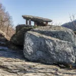 | Jefferson Rock | Acroterion | CC BY-SA 4.0 | Source |
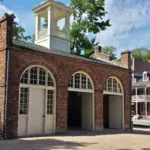 | John Brown’s Fort | Daniel Hemmerich | Owner — all rights reserved | — |
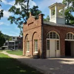 | John Brown’s Fort from the side | Daniel Hemmerich | Owner — all rights reserved | — |
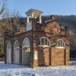 | John Brown’s Fort in snow | Acroterion | CC BY-SA 4.0 | Source |
 | Lock 33, C&O Canal, Harpers Ferry | Bonnachoven | CC0 | Source |
 | Looking down to the Potomac bridges | Daniel Hemmerich | Owner — all rights reserved | — |
 | Lower High Street, Harpers Ferry | Acroterion | CC BY-SA 4.0 | Source |
 | Lower Town and the Potomac bridges from Maryland Heights | Daniel Hemmerich | Owner — all rights reserved | — |
 | Lower Town close-up from Maryland Heights | Daniel Hemmerich | Owner — all rights reserved | — |
 | Lower Town rooftops from above | Daniel Hemmerich | Owner — all rights reserved | — |
 | Lower Town sidewalk | Daniel Hemmerich | Owner — all rights reserved | — |
 | Lower Town street in the morning | Daniel Hemmerich | Owner — all rights reserved | — |
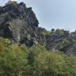 | Maryland Heights cliffs | Daniel Hemmerich | Owner — all rights reserved | — |
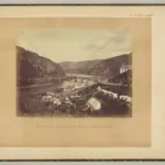 | Meeting of the Shenandoah and Potomac at Harpers Ferry (1865) | James Gardner (negative); Alexander Gardner (positive) | Public domain (LoC: No known restrictions on publication) | Source |
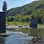 | Old bridge piers near the Point | Daniel Hemmerich | Owner — all rights reserved | — |
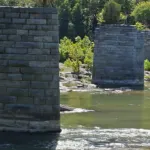 | Old stone bridge pier | Daniel Hemmerich | Owner — all rights reserved | — |
 | Overlook rocks above Harpers Ferry | Daniel Hemmerich | Owner — all rights reserved | — |
 | Potomac bridge and water gap | Daniel Hemmerich | Owner — all rights reserved | — |
 | Potomac footbridge walkway (2014) | Daniel Hemmerich | Owner — all rights reserved | — |
 | Potomac River and Maryland Heights | National Park Service (NPS Photo/Cook), Harpers Ferry NHP | CC BY 2.0 | Source |
 | Rainy street in Harpers Ferry | Daniel Hemmerich | Owner — all rights reserved | — |
 | Restaurant patio in Harpers Ferry | Daniel Hemmerich | Owner — all rights reserved | — |
 | Riffles on the Potomac | Daniel Hemmerich | Owner — all rights reserved | — |
 | River and water gap near the Point | Daniel Hemmerich | Owner — all rights reserved | — |
 | River shallows near Lower Town | Daniel Hemmerich | Owner — all rights reserved | — |
 | Rope bridge on a zip line course | Daniel Hemmerich | Owner — all rights reserved | — |
 | St. John’s Episcopal Church ruins | Daniel Hemmerich | Owner — all rights reserved | — |
 | St. Peter’s Catholic Church, Harpers Ferry | Joy Schoenberger | CC BY 3.0 | Source |
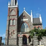 | St. Peter’s Church spire | Daniel Hemmerich | Owner — all rights reserved | — |
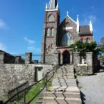 | St. Peter’s Roman Catholic Church | Daniel Hemmerich | Owner — all rights reserved | — |
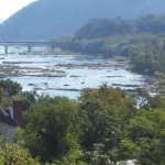 | St. Peter’s spire above the rivers | Daniel Hemmerich | Owner — all rights reserved | — |
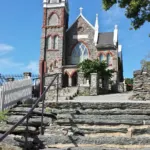 | Steps up to St. Peter’s | Daniel Hemmerich | Owner — all rights reserved | — |
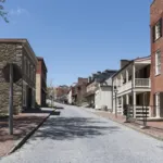 | Street view of Harpers Ferry, West Virginia | Carol M. Highsmith | Public domain (Carol M. Highsmith Archive, LoC: No known restrictions on publication) | Source |
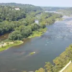 | The Potomac upstream from Maryland Heights | Daniel Hemmerich | Owner — all rights reserved | — |
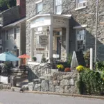 | The Town’s Inn on High Street | Daniel Hemmerich | Owner — all rights reserved | — |
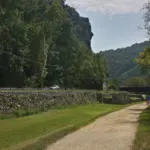 | Towpath below Maryland Heights | Daniel Hemmerich | Owner — all rights reserved | — |
 | View from Maryland Heights (snow) | v343790 (Panoramio user) | CC BY 3.0 | Source |
 | View of the Shenandoah River at Harpers Ferry | Carol M. Highsmith | Public domain (Carol M. Highsmith Archive, LoC: No known restrictions on publication) | Source |
 | Wooden railroad trestle in Lower Town | Daniel Hemmerich | Owner — all rights reserved | — |