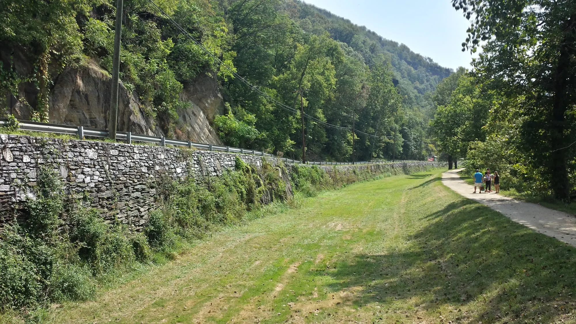
The C&O Canal towpath is the best bike ride near Harpers Ferry: flat gravel along the Potomac, running 184.5 miles from Georgetown in Washington, DC, to Cumberland, Maryland. Harpers Ferry sits at about towpath mile 60.7, across the river in West Virginia. Normally you walk your bike over the footbridge from Lower Town and you're on the towpath in minutes. As of November 2026 that footbridge is closed, so this guide starts with how to get a bike onto the towpath now, then covers rentals, routes and the train.
Footbridge closed to bikes (as of November 2026)
The Goodloe Byron Memorial Footbridge, the link between Lower Town and the towpath at mile 60.6, has been closed since July 27, 2026. In October the closure was extended for deck safety repairs, and no reopening date has been announced. The towpath itself is open. Check the C&O Canal NHP bridge page and our footbridge closure page before you go.
Know before you go
| Towpath | 184.5 mi of gravel, Georgetown (mile 0) to Cumberland — NPS |
| Harpers Ferry | About mile 60.7 (Lock 33); footbridge at mile 60.6 |
| Footbridge | Closed; towpath open — NPS |
| Closure shuttle | Visitor Center to Lock 34 (mile 61.6); no bike rack, 1–2 bikes at driver's discretion |
| Rentals (Nov 2026) | River & Trail Outfitters, Brunswick MD (March–November); Shepherdstown Pedal & Paddle, Shepherdstown WV |
| MARC train | Brunswick Line, weekdays only; bikes on all trains with 2 bungee cords — MTA |
| Bikes in the park | Roads only, not trails or sidewalks — NPS |
| Overnight parking | NPS Visitor Center lot, up to 14 days by permit — parking guide |
How do you get a bike to the C&O towpath while the footbridge is closed?
The simplest way to get a bike onto the towpath during the closure is to start on the Maryland side, in Brunswick, and skip Harpers Ferry's side of the river entirely. As of November 2026 there is no reliable way to bring a bike from Lower Town or the park Visitor Center to the towpath. Your options:
- Start in Brunswick, Maryland (best option). Brunswick is at towpath mile 55, about 5.6 miles downstream of the footbridge. River & Trail Outfitters rents bikes there, and the MARC Brunswick Line stops there on weekdays.
- Start in Shepherdstown, West Virginia. Shepherdstown Pedal & Paddle rents bikes, and Lock 38 is at towpath mile 72.7, about 12 miles upstream of Harpers Ferry. Ask the shop for the route from town to the towpath.
- Book a commercial shuttle. The NPS lists two businesses that carry hikers and cyclists: River & Trail Outfitters (301-834-9950) and Shepherdstown Pedal & Paddle (304-876-3000). Arrange routes and fees with them directly; River & Trail says summer weekends book up.
- Try the NPS closure shuttle (not reliable for bikes). The shuttle runs between the Harpers Ferry Visitor Center and C&O Canal Lock 34 (mile 61.6). It has no bike rack; one or two bikes may go on at the driver's discretion. As of November 2026 the first bus leaves the Visitor Center at 9:00am and the last leaves Lock 34 at 5:30pm, and it doesn't run in bad weather.
When the footbridge reopens, the old routine returns: walk your bike across the bridge (riding on it isn't allowed). The NPS stair project at the Maryland end adds a bike ramp, replacing the old spiral stair that cyclists had to carry bikes down.
Where can you rent a bike near Harpers Ferry?
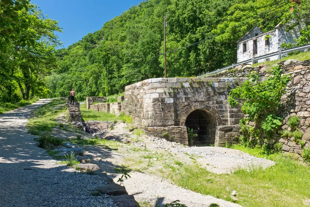
As of November 2026, the two confirmed towpath bike rentals near Harpers Ferry are River & Trail Outfitters in Brunswick, Maryland, and Shepherdstown Pedal & Paddle in Shepherdstown, West Virginia. Both put you on the Maryland side's towpath without needing the footbridge.
| Outfitter | Where you pick up | What they rent | Details (as of Nov 2026) |
|---|---|---|---|
| River & Trail Outfitters | Brunswick Family Campground, Brunswick, MD; ride straight to the towpath | Canal Cruiser bikes; child trailers; e-bikes through Bridgeway Bikes, 5 W Potomac St, Brunswick | Half day (4 hr or less) $24, full day $34, helmet included; riders 12+; plus a 5% amusement fee, 6% sales tax and a $3 user fee per bike. Season March–November. Return by 5pm weekdays, 6pm weekends. Book online; locks on request |
| Shepherdstown Pedal & Paddle | 115 W German St, Shepherdstown, WV | Giant, Liv and Jamis bikes for the C&O Canal | Many rentals include shuttle transport. Shop hours listed: Wed–Sat 11am–7pm, Sun 11am–5pm, closed Mon–Tue. Call 304-876-3000 for prices and the off-season |
The NPS Harpers Ferry bicycling page lists other rental contacts, but it was last updated in 2022 and we couldn't confirm that those businesses still rent bikes. River Riders' website, for example, lists only kayak, canoe and paddleboard rentals as of November 2026. Check with any business before you count on it.
Book with one of the outfitters above if you don't bring your own bike, and reserve ahead for summer and fall weekends.
How far is it from Harpers Ferry to Brunswick, Antietam, Shepherdstown and DC?
By NPS towpath mileposts, Brunswick is about 6 miles downstream of Harpers Ferry, Antietam Creek about 9 miles upstream, Shepherdstown (Lock 38) about 12 miles upstream, and Georgetown in DC about 61 miles downstream. The table gives distances from the closed footbridge (mile 60.6) and from Lock 34 (mile 61.6), where the closure shuttle stops.
| Destination | Towpath mile (NPS) | Direction | From footbridge | From Lock 34 |
|---|---|---|---|---|
| Georgetown, Washington, DC | 0 | Downstream | 60.6 mi | 61.6 mi |
| Point of Rocks, MD | 48.2 | Downstream | 12.4 mi | 13.4 mi |
| Brunswick, MD | 55 | Downstream | 5.6 mi | 6.6 mi |
| Dargan Bend | 64.9 | Upstream | 4.3 mi | 3.3 mi |
| Antietam Creek | 69.6 | Upstream | 9.0 mi | 8.0 mi |
| Lock 38 (Shepherdstown) | 72.7 | Upstream | 12.1 mi | 11.1 mi |
Mileposts are from the NPS C&O Canal park planner and the Byron bridge page; distances are our arithmetic. The NPS Harpers Ferry bicycling page puts Antietam Creek at mile 69.4, so expect small differences between sources.
Detour below Dargan Bend
As of November 2026 the NPS lists a towpath detour at about mile 64.4, half a mile below the Dargan Bend boat ramp, because of a washout. A footbridge was moved 100 feet upstream and a marked path leads around it. Check the C&O Canal conditions page before riding upstream.
Brunswick to Harpers Ferry (and back)
The Brunswick ride is the easiest towpath outing from the Harpers Ferry area right now: rent in Brunswick, ride upstream about 6 miles to the Maryland bank opposite Harpers Ferry, and return. River & Trail gives the distance as 5.8 miles each way. You'll pass Lock 33, across the Potomac from Lower Town, but as of November 2026 you can't cross the footbridge into town. Between Lock 34 and Lock 33, follow flaggers and signs during NPS construction hauling.
Harpers Ferry to Antietam Creek and Shepherdstown
Upstream from Harpers Ferry, the towpath runs about 9 miles to the Antietam Creek area and about 12 miles to Lock 38 at Shepherdstown. During the closure, Shepherdstown is the easier end to start from: rent at Pedal & Paddle and ride downstream toward Harpers Ferry. The Ferry Hill building at mile 72.8 is closed as of November 2026, though its grounds are open. Antietam National Battlefield itself is a separate trip by road; see our Antietam guide and Shepherdstown guide.
Biking from Harpers Ferry to Washington, DC
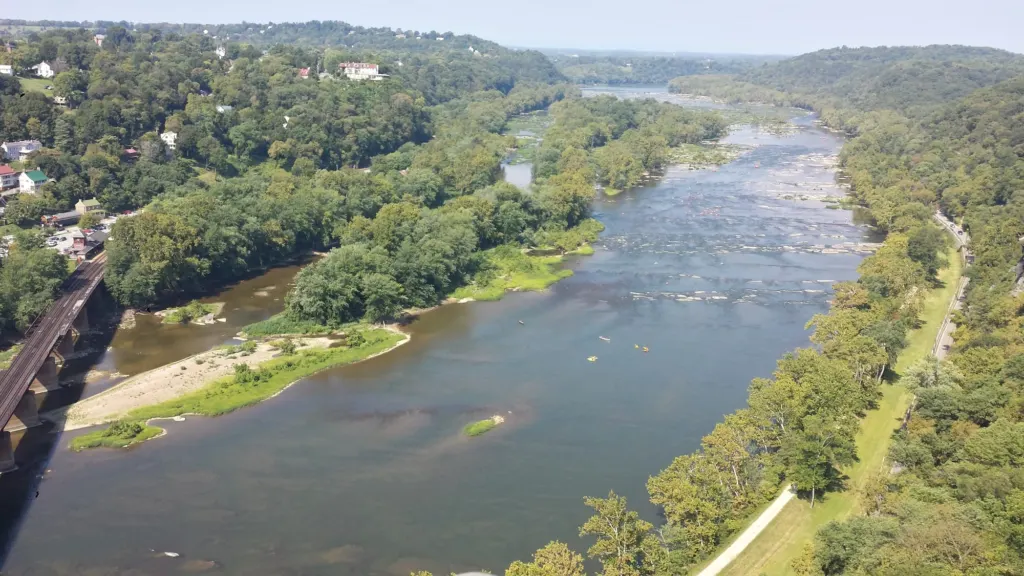
The ride from Harpers Ferry to Georgetown is about 61 miles of flat towpath, downstream all the way. It is a long day for a strong rider or a relaxed two-day trip. The NPS park planner lists free hiker-biker campsites every 5 to 7 miles, each with a chemical toilet, picnic table, grill and well water; stays are limited to one night, and the planner says the water runs from mid-April to mid-November. The planner is from 2018, so confirm current details with the C&O Canal NHP.
Two ways to make it work:
- Ride out, train back (weekdays). Ride from the Brunswick area toward DC and take MARC home, or the reverse: take a weekday MARC train from Union Station to Brunswick with your bike and ride about 55 miles back to Georgetown.
- Shuttle. River & Trail Outfitters runs shuttles for people and bikes by request; ask them about longer one-way rides.
Before a long ride, check the C&O Canal conditions page. In November 2026 it lists work near the DC end, including a one-lane closure of the Carderock tunnel (mile 10.5) and a closed parking lot at Lock 5. Linked to the Great Allegheny Passage, the towpath also continues to Pittsburgh: 334.5 miles in all, per the NPS.
Can you take a bike on the MARC train?
Yes. MDOT MTA says full-size bikes, e-bikes and scooters are allowed on all MARC trains on all three lines, and it recommends Brunswick or Point of Rocks as the best stations for the towpath. The catch for Harpers Ferry: the Brunswick Line runs on weekdays only, with no weekend service, and only a few trains a day continue past Brunswick to Harpers Ferry.
MARC's bike rules, per the MTA:
- Bring two bungee cords. You need them to secure a full-size bike; without them you can't board a car that has no racks.
- Racks vary by car. Some cars have built-in racks; others take one bike on each side of the aisle. Equipment changes day to day. If the racks are full, wait for the next train.
- Load it yourself. Conductors can't help, even at low-platform stations.
- No charging. You can't charge an e-bike or scooter on the train or at a station.
- Folding bikes must be folded before boarding and can't go in the overhead racks.
During the footbridge closure, get off at Brunswick, not Harpers Ferry. The Harpers Ferry station is in Lower Town on the West Virginia side, so with the footbridge closed there's no reliable way to get a bike from the train to the towpath. Check the Brunswick Line timetable and our guide to getting to Harpers Ferry from DC.
What are the rules for biking the towpath and in Harpers Ferry?
On the C&O Canal towpath, the NPS asks cyclists to:
- Ride single file and stay to the right except when passing.
- Yield to all pedestrians and horses.
- Use a bell and a helmet (recommended for adults); children must wear helmets.
- Walk bikes across aqueducts.
- Carry out all trash.
Inside Harpers Ferry National Historical Park, bikes are allowed only on roads open to cars, not on park trails or sidewalks, and riding downhill from the Visitor Center on Shoreline Drive is prohibited (NPS). West Virginia law requires helmets for riders under 14. E-bikes are allowed wherever regular bikes are allowed in the park. The park shuttle from the Visitor Center to Lower Town carries bikes; the separate Lock 34 closure shuttle does not have a bike rack.
Where can you park overnight or camp for a towpath trip?
C&O Canal cyclists can park overnight in the Harpers Ferry NHP Visitor Center lot, 171 Shoreline Drive, for up to 14 days with an approved permit; park entrance fees apply and you can't sleep in your vehicle (NPS). While the footbridge is closed, though, that lot doesn't connect to the towpath by bike, so a Maryland-side start makes more sense. Fees and permit steps are in our parking, fees and shuttle guide.
For sleeping, there's no camping in Harpers Ferry National Historical Park. Along the towpath, use the free hiker-biker sites or reservable C&O Canal campgrounds such as Antietam Creek (book on Recreation.gov). For campgrounds and rooms near town, see camping near Harpers Ferry and where to stay.
What else can you do near the towpath?
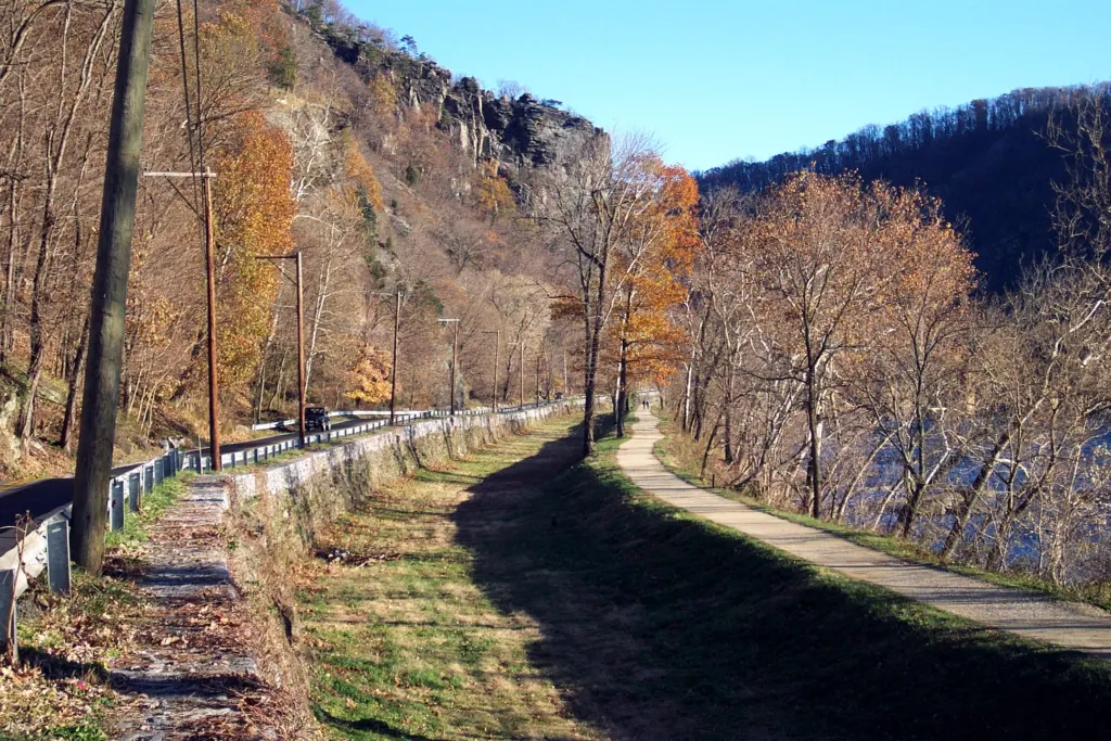
The towpath ties into several of the area's best outings:
- Weverton Cliffs. The Appalachian Trail leaves the towpath near Weverton and climbs to a Potomac overlook; see our Weverton Cliffs guide. Lock your bike before you start up the trail.
- Maryland Heights. The trailhead is just off the towpath, 0.3 miles upstream of the footbridge; see the Maryland Heights Trail guide.
- The river. Outfitters run tubing, rafting and kayak trips; see tubing and rafting in Harpers Ferry.
For everything else in town, start with things to do in Harpers Ferry.