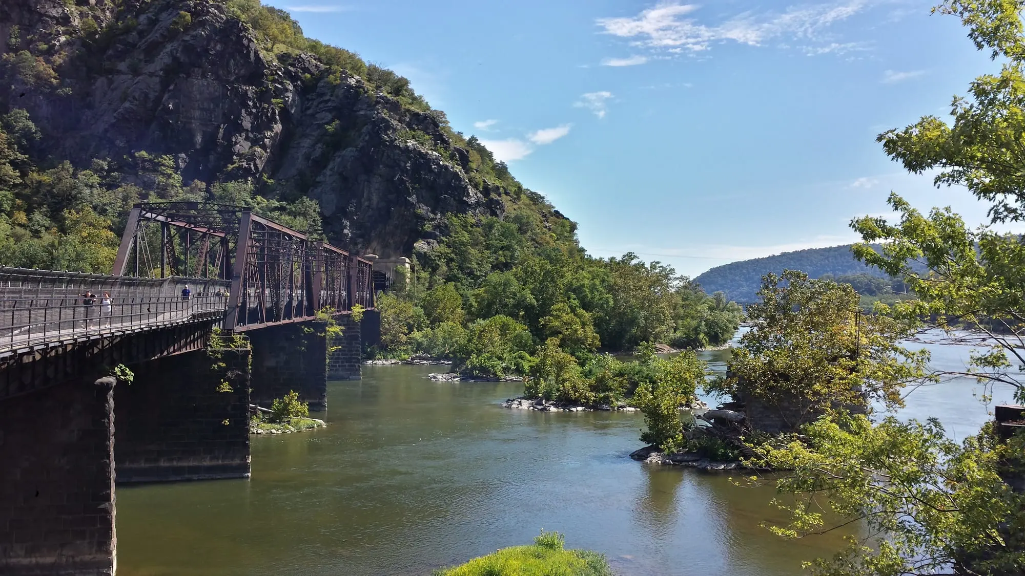
Weverton Cliffs is a short, steep Appalachian Trail hike to a big Potomac River view, and it doesn't take a whole day. The cliffs sit at the southern end of South Mountain in Maryland, just downstream from Harpers Ferry, and the Appalachian Trail Conservancy (ATC) says they rise about 500 feet above the river. As of November 2026 it is also a big-view hike near Harpers Ferry that the footbridge closure doesn't touch, because you drive to the trailhead on the Maryland side.
Know before you go
| Distance | 2.0 mi round trip — ATC |
| Difficulty | Moderate (ATC): a steep climb with switchbacks for about 1 mile |
| Height | Cliffs about 500 ft above the Potomac — ATC |
| Trail | White-blazed Appalachian Trail, then a short side trail to the overlook |
| Parking | Lot on Weverton Cliff Rd, off MD 67 at US 340, Maryland |
| Dogs | Allowed on a leash (required on the A.T. in all of Maryland) |
| Water & restrooms | None listed by the ATC; bring your own water |
| Footbridge closure | Doesn't affect this hike — closure details |
| Camping | Only at designated overnight sites in Maryland — ATC |
How long is the Weverton Cliffs hike?
The Weverton Cliffs hike is 2.0 miles round trip, according to the ATC's Weverton Cliffs page. You climb about 1 mile north on the Appalachian Trail from the parking lot, take a short side trail to the cliffs, and come back the same way.
The ATC doesn't publish an elevation-gain figure or a hiking time for this route, so we don't give one here. What it does say is that the A.T. leaves the road on "a steep climb with switchbacks," and that the cliffs stand about 500 feet above the Potomac. Budget extra time for the overlook itself, which is the reason you came.
How hard is the Weverton Cliffs trail?
The ATC rates Weverton Cliffs moderate. The hike is short, but the ATC describes the outbound mile as a steep climb on switchbacks, so expect to work for the view. If you're not a regular hiker, take your time on the way up; the return is the same trail, downhill.
Things to know before you set off:
- Wear real shoes. Switchbacks and rock make sandals a poor choice.
- Carry water. The ATC hike page doesn't list water or restrooms at the trailhead or on the trail.
- Stay back from the edge. The overlook is a natural cliff with no railing. Keep children and dogs close.
- Pack out your trash. There is nowhere to leave it on the trail.
Where do you park for Weverton Cliffs?
Park in the A.T. lot on Weverton Cliff Road in Weverton, Maryland. The ATC's directions: from US 340, take the exit for MD 67 North and follow it to the first right, Weverton Cliff Road. The trailhead lot is a large, paved lot on the right about a minute after the turn, and the A.T. runs along the back of it.
Weverton sits at the junction of US 340 and MD 67, about 1.5 miles east of Harpers Ferry (Wikipedia). From the Harpers Ferry side, that makes it a short drive east on US 340 across the river into Maryland.
Don’t park on the shoulder
Maryland DNR says Appalachian Trail lots "fill quickly" and warns that cars parked outside designated areas, on private property or on road shoulders can be fined or towed (DNR). If the lot is full, come back later or pick another hike. The ATC page doesn't mention a parking fee or overnight rules for this lot; check with Maryland DNR if you plan to leave a car overnight.
There is also a small lot off Keep Tryst Road near C&O Canal Lock 31, listed by the C&O Canal Trust, which serves the towpath and the A.T. where it leaves the canal. The ATC's hike directions use the Weverton Cliff Road lot.
What is the route to the cliffs?
The route is a simple out-and-back on the A.T. Here it is as the ATC describes it:
- Find the A.T. It runs around the back of the parking lot. You can also walk a short way along Weverton Cliff Road to where the trail crosses it.
- Head north into the woods. The white-blazed A.T. crosses the road and starts climbing on switchbacks.
- Turn onto the side trail. After about 1 mile, a short side trail leads out to the cliffs.
- Enjoy the view, then retrace your steps to the parking lot.
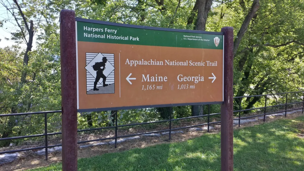
What can you see from Weverton Cliffs?
From Weverton Cliffs you look out over the Potomac River and the country around Harpers Ferry. The ATC lists views of the river, Buzzard Rock and Short Hill Mountain, and calls it a short hike to a panoramic view that draws tens of thousands of visitors a year. Maryland DNR names Weverton Cliffs as one of three scenic overlooks on South Mountain, with Annapolis Rocks and High Rock.
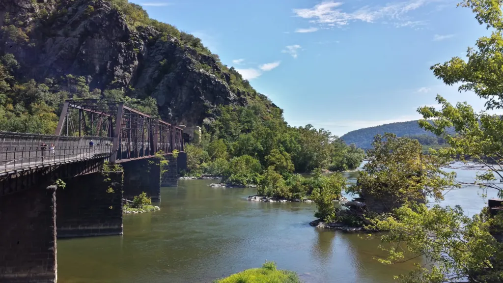
The land right above the cliffs was a private inholding until recently. In an August 2025 update, the ATC reported that the Trust for Public Land bought about 3 acres there in December 2024 and donated them to the Maryland Park Service. Maryland State Parks, the ATC and volunteers of the Potomac Appalachian Trail Club now share care of that stretch.
Is Weverton Cliffs a good hike while the Harpers Ferry footbridge is closed?
Yes. Weverton Cliffs is one of the best hikes to do while the footbridge is closed, because you drive to the trailhead in Maryland and never need the bridge. The Goodloe Byron Memorial Footbridge, which carries the A.T. and walkers from Lower Town to the Maryland side, has been closed since July 27, 2026, and as of November 2026 no reopening date has been announced. Our footbridge closure page has the current status.
The closure makes Maryland Heights hard to reach: you need the limited NPS shuttle to C&O Canal Lock 34, which takes no pets and doesn't run in bad weather. Weverton Cliffs has none of those limits. The ATC's own advice to day hikers during the closure is to find other hikes or stay on one side of the river, and Weverton fits that exactly.
| Weverton Cliffs | Maryland Heights | |
|---|---|---|
| Round trip | 2.0 mi (ATC) | 4.5–6.5 mi from the trailhead (NPS) |
| Access in Nov 2026 | Drive to the Weverton Cliff Rd lot | NPS shuttle to Lock 34, then towpath walk |
| Dogs | Yes, leashed | Leashed on the trail, but no pets on the shuttle |
| View | Potomac, Buzzard Rock, Short Hill Mountain | Straight down on Lower Town and the confluence |
If the view of the town itself is what you want, that is still Maryland Heights; see our Maryland Heights Trail guide for the shuttle workaround.
How does Weverton Cliffs connect to the Appalachian Trail and Harpers Ferry?
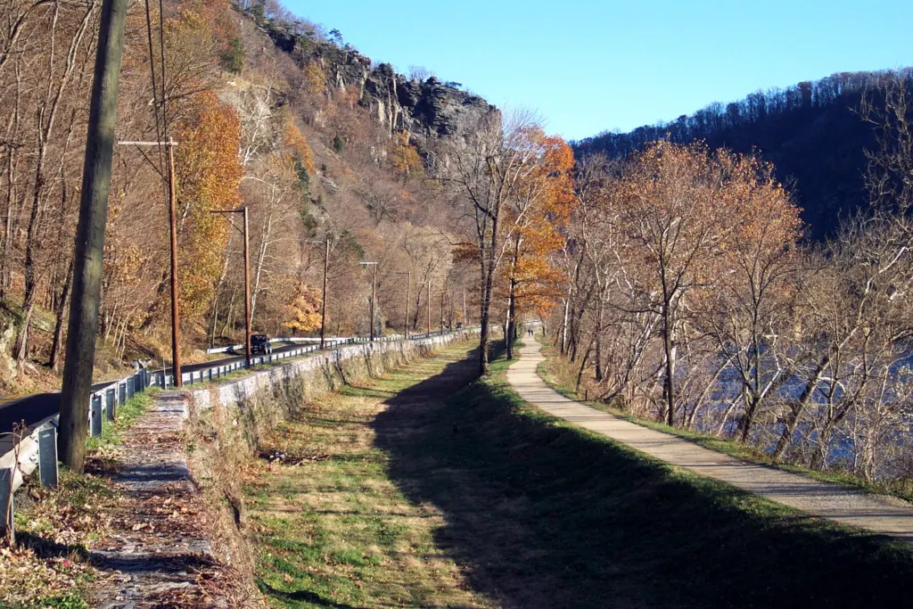
Weverton Cliffs is on the Appalachian Trail itself, at the southern end of South Mountain. Heading south from the cliffs, the A.T. descends to Weverton, joins the C&O Canal towpath near Lock 31 (about towpath mile 58, per the C&O Canal Trust) and follows the towpath upstream to the Byron footbridge at mile 60.6, where it normally crosses into Lower Town. Heading north, the A.T. follows South Mountain through Maryland; the Maryland DNR A.T. page describes a longer 6-mile hike to the cliffs from Gathland State Park.
During the footbridge closure, you can't walk the A.T. from Lower Town to Weverton. The ATC asks long-distance hikers to arrange their own ride across the river. Our Appalachian Trail in Harpers Ferry guide covers the closure's effect on thru-hikers and the ATC Visitor Center.
Can you bring a dog to Weverton Cliffs?
Yes, on a leash. The ATC says leashes are required on the A.T. in all of Maryland, and it recommends keeping dogs leashed everywhere on the trail as a courtesy to other hikers and wildlife. The NPS lists only three places on the whole A.T. where dogs are banned, none of them near Harpers Ferry. Bring water for your dog and keep it close at the cliff edge.
For dog-friendly plans in town, see Harpers Ferry with dogs and kids.
Is Weverton Cliffs better at sunrise or sunset?
Neither the ATC nor Maryland DNR publishes overlook hours or recommends a time of day, so pick what suits you, but plan for the walk in the dark. If you go up for first light or stay for the last of it, carry a headlamp for the steep switchbacks. Maryland DNR warns that A.T. parking lots fill quickly, so an early start also helps with parking.
What else is near Weverton Cliffs?
Weverton is minutes from Harpers Ferry, so the cliffs pair well with a half day in town:
- Lower Town Harpers Ferry. Park at the NPS Visitor Center and ride the shuttle down; fees and times are in our parking, fees and shuttle guide.
- Loudoun Heights. A longer ridge hike on the Virginia side, reached on foot from Lower Town across the US 340 Shenandoah bridge. It isn't affected by the footbridge closure either. See our Loudoun Heights Trail guide.
- The C&O Canal towpath. Flat, gravel and right below the cliffs. See biking the C&O Canal from Harpers Ferry.
For every trail in the area compared side by side, start with the Harpers Ferry hiking guide. If you want an early start without a long drive, see where to stay.